|
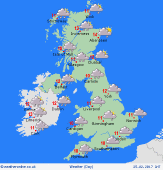
 Thursday Thursday
Widespread gales for England & Wales, gusts 50-60mph, but in northern-central areas from about Liverpool Bay to The Wash, risk 70-80mph for a few hours - the strongest winds moving east through the day. Heavy rain & snow affects northern England & southern Scotland - snow to low levels over the Southern Uplands, 10-20cm on the hills. Rain soon clears across southern Britain, followed by sunny spells and showers. Highs 5 to 10C.
 Thursday night Thursday night
Thursday's storm system clears quickly away eastwards. Areas of showers will continue to affect northern Britain overnight, giving snow to low levels in the Scottish Highlands. Elsewhere, skies should clear and winds easing. Sheltered spots may see a touch of frost and local icy patches. Temperatures near or just below 0C in Scotland & northern England, around 2 to 5C for central & southern areas.
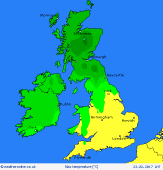
 Friday Friday
A ridge of high pressure brings a brighter day. A few showers possible, mainly coastal areas in the morning. Sunny spells, but cloud thickens from the west as fronts return from the Atlantic. Rain sets in across Northern Ireland by afternoon, later spreading to western Scotland. Turning drizzly in western areas elsewhere. The breeze eases for a time, but south-westerlies freshen later. Highs 6 to 10C, mildest south-west.
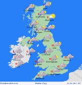
 Saturday Saturday
A brisk south-westerly wind affects the country, locally gale force in the west & north. Rain will persist most of the day for north-western Britain, heaviest over western hills. Rain also frequent across Ireland. Occasional rain spreads eastwards across central England, but the south & east should stay mainly dry. Cloudy skies for most, some brightness in the east. Mild overall, 9 to 12C.
|
