|
 Saturday Saturday
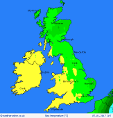
Rather a dull day for many on Saturday with plenty of cloud over all parts of the UK and Ireland. There will be some outbreaks of drizzle and patchy rain affecting high ground, especially in the west. If you are sheltered from the high ground then a few bright spells are going to break through. It is going to be a milder day with highs at 6 to 10C for most.
 Saturday Night Saturday Night
Staying cloudy through the night for most. Further spots of drizzle, again mostly on the hills and coasts of the west. Drier in the east and south although remaining cloudy and even here there could be some spots of drizzle. Fog will be shrouding hills too. Lows near 2 to 6C.
 Sunday Sunday
High pressure to the south of the UK and Ireland on Sunday with lower pressure to the northwest. A moist southwest airflow is going to be bringing cloud and spots of drizzle to western coasts and hills. More eastern and southern areas are likely to be seeing some breaks developing in the cloud allowing for a few brighter spells. Highs at 7 to 11C.
 Monday Monday
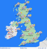
Low pressure is going to be to the north of Scotland on Monday. Fronts passing eastwards bringing rain. It is going to become windier too. Showers follow from the west as the rain clears east later in the day. The showers turning to sleet and snow over the hills of Scotland as chillier air arrives. Highs at 5 to 11C.
|
